For the last 5 years, Code for America has connected governments and technologists so that both can better serve citizens. It’s hard work. It’s work that requires a lot of listening and learning, a lot of collaboration across organizations and agencies, and a whole lot of work with weird, hyper-particular government datasets. That’s not always the kind of work that gets attention or accolades, but it is the kind of work that facilitates transformative change. And it’s the kind of work we hope will happen through this generous donation and partnership.
Some of the key things this donation supports:
More open parcel data from cities.
Parcel maps often form the foundation for city mapping, and many city datasets have some geospatial component that relates back to that parcel map. When citizens and technologists have access to parcel data, they can do amazing things. Here are some examples of when community groups and organizations can use parcel data:
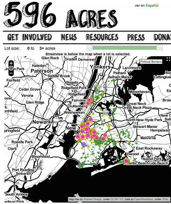
596 Acres used NYC’s parcel data, MapPLUTO, to help community groups gain access to vacant public land and build community gardens.

OpenOakland, a Code for America Brigade, is using city parcel data to track buildings vulnerable to earthquakes.

This donation will contribute to Code for America’s advocacy, education, and close work with cities on opening city parcel data. You can keep track of the inventory of open parcel data on the US Cities Open Data Census, an initiative to track open datasets made in collaboration by Code for America, the Open Knowledge Foundation, and the Sunlight Foundation.
A common open format for parcel data.
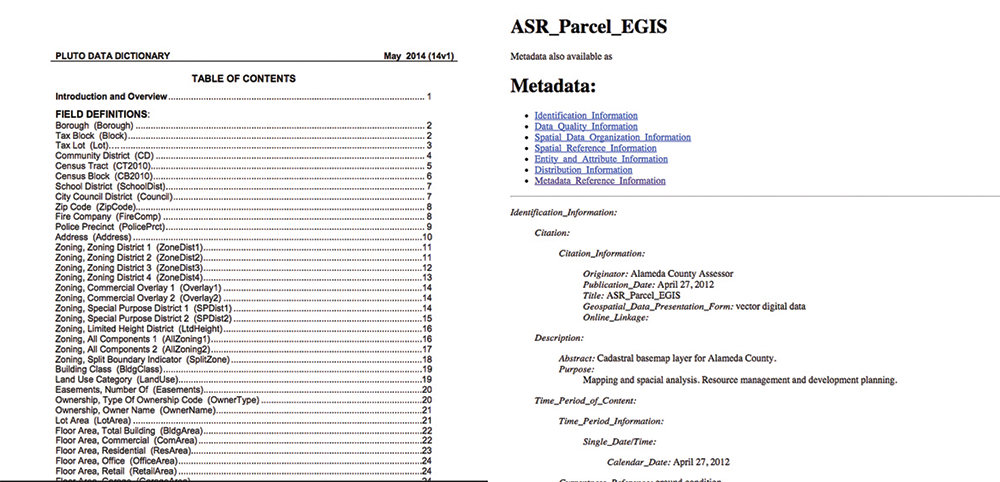
Having more open parcel data is a huge deal. Making that data accessible and legible across contexts is potentially game-changing. Right now, every city releases parcel data in different file formats, using different terminology and formatting. Try reconciling the differences between Alameda County and New York metadata:

Such metadata. Much headers. Wow.
Furthering Code for America’s ongoing work on open data formats, we’re supporting the development of an open format for parcel data. The adoption of a common, open format—by governments and geospatial software platforms—could dramatically lower the barrier for entry to working with parcel data across contexts. Code for America is already working in this vein with the Open Trail System Specification, the first ever geodata standard to help public agencies open data about parks and trails and make it easier to digest and integrate into applications.
Brass tacks and infrastructure.

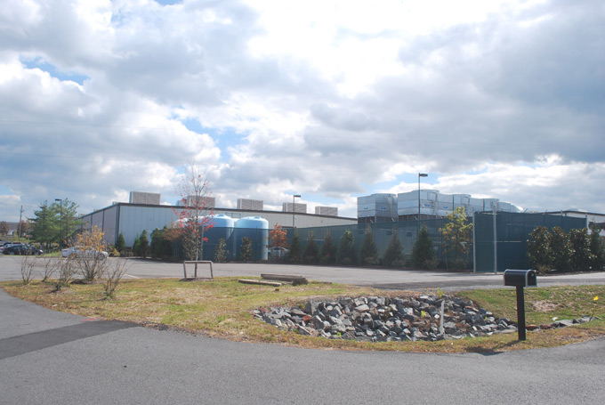
Geodata takes up a lot of space. (Ha, ha, ha. Space. Location data puns. But really though.) We’re supporting the additional server costs and technical infrastructure needed to expand Code for America’s work with spatial data. Maybe the servers will be in a data center like this one.
Focused work on mapping with and by Code for America Fellows.
Fellows come to Code for America from a range of backgrounds—sometimes with lot of open-source mapping knowledge, sometimes not. Since most city data is geodata, it’s crucial to support Fellows with mapping tools and infrastructure, training and skillshares, and engagement with the larger open-source mapping community. We’re supporting work by the CfA tech team to help Fellows produce more mature mapping applications. Our team will also engage in skillshares and hack sessions with Fellows, exploring open-source mapping projects.

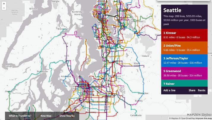
We’re already working with CfA fellows to help improve mapping applications—TransitMix, a transit planning tool built by CfA fellows, uses our routing services, which we’ve customized for buses.
We’re excited to work with Code for America on this initiative and look forward to kicking off this work with an unconference discussion on open parcel data at the Code for America Summit on September 24th and 25th. If you work with government geodata or have a government spatial data problem you’re working on or want to see worked on, we’d love for you to be part of the conversation. Please reach out!