We’re happy to see lots of different groups using tools and data from Mapzen – here are a few examples from the past month.
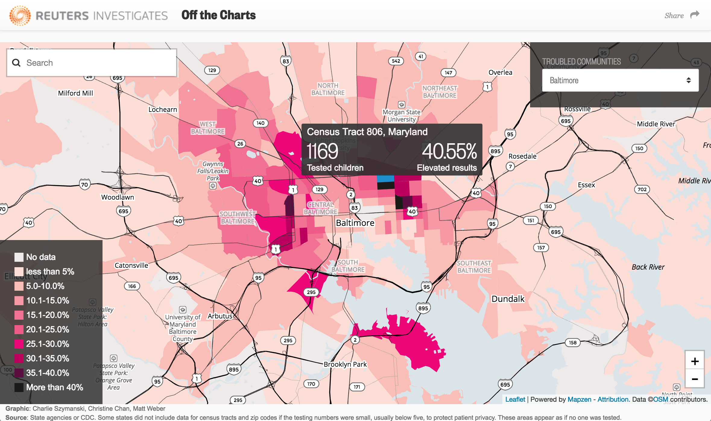
Reuters
Reuters used Tangram to show 3,000 spots in the United States where lead poisoning is worse than Flint, Michigan.

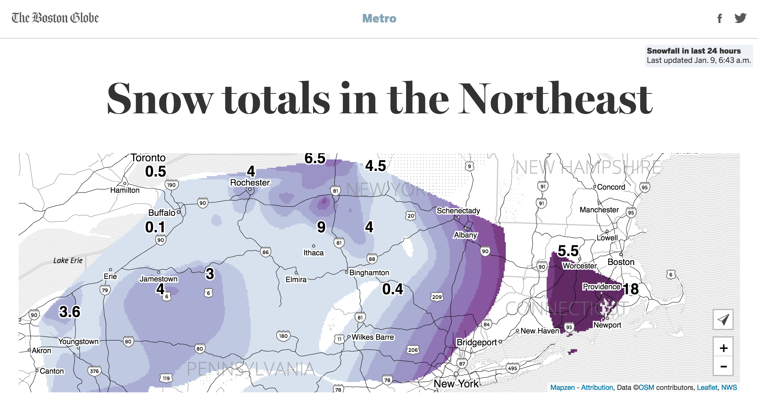
The Boston Globe
It’s been quite a winter and The Boston Globe is using Mapzen tiles and Tangram to show how much snow has fallen in the Northeast.

Los Angeles Times
The LA Times is using Tangram to quickly generate maps for breaking news stories.
Air traffic controller removed from post after directing jetliner toward Mt. Wilson https://t.co/Kp4bOMw7bG pic.twitter.com/gRCsDWKuY0
— Los Angeles Times (@latimes) December 23, 2016
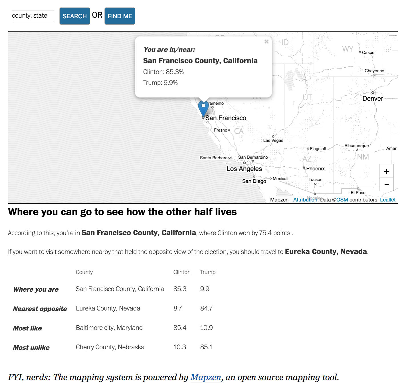
The Washington Post
Philip Bump of The Fix used Mapzen Search to help find the closest place that voted the opposite of where you lived.

Getting Maps into AfterEffects
GeoLayers lets you browse and animate maps in AfterEffects using Mapzen vector data, including roads, buildings, terrain and even routing.

Maproom
Maproom, an Autodesk plug-in, has a new terrain system that uses Mapzen tiles. This means terrain and bathymetry data any any scale!
New terrain system using @mapzen data includes #bathymetry. Maproom will soon have terrain data at any scale. #3dsMax pic.twitter.com/99xHKeVN4r
— Klaas Nienhuis (@klaasnienhuis) December 30, 2016
Let us know how you are using Mapzen!