making things. saying things.
Starting Where We Are and Explaining How We Got There

At Mapzen, we start from the assumption that fully open software and data isn’t just the best model, it should be the inevitable one. Ideally someday, companies and developers will work together on opening the inaccessible core of mapping technology. Instead of competing to have the best data or the fastest geocoder, they can compete somewhere more interesting, like their products.

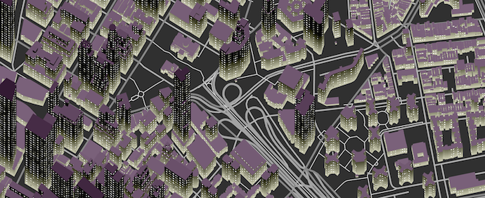
Tangram, A Mapping Library

GeoNYC Goes Out of Orbit September 16


