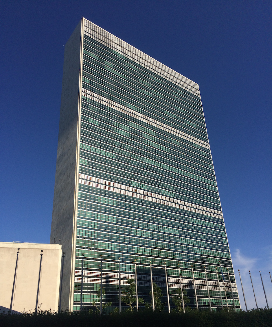
We at Mapzen would like to thank the organizers of State of the Map US for a such great conference. The United Nations was an amazing venue, and it was a pleasure to see so many old friends and make so many new ones in the talks, at the social events and at our booth. We are fortunate to be part of a community that is so enthusiastic about building things with OpenStreetMap.
Here’s a summary of the Mapzen talks as well as links to our video and transcript archives:
Saturday (June 6) Talks
Government & OpenStreetMap: Landscapes, Perspectives and the Horizon, moderated by Alyssa Wright
“I hear a lot of comments about adopting OpenStreetMap in government agencies. We’ve found that it really is much more cost-effective to improve the data. Hiring the students and spending that first year improving it was less expensive for us than licensing proprietary data for just a one-year period.” —Bibiana McHugh, Trimet
Peripheral Data in OpenStreetMap, Drew Dara Abrams, Diana Shkolnikov
“Isn’t OSM big enough for everything under the sun? So shouldn’t there be room for everything within OSM proper? OpenStreetMap data model is very flexible, but there are other types of objects it doesn’t represent very well.” —Diana Shkolnikov
Quality Route Guidance, Duane Gearhart
“So this is Odin, the one-eyed god. He’s focused on improving route guidance.” —Duane Gearhart
Vector Rendering Panel, Matt Blair
“I would say [vector map rendering is] freedom… a way of democratizing style.” —Matt Blair
Mapzen is building Fences…and knocking down barriers, Diana Shkolnikov
“So we all know that OSM is massively unapologetically hugely awesome…But as it continues to grow, we consequently have less and less idea of what’s actually in there. We know that at the end, when you collect all this data, it’s going to be amazing, and everyone is going to win, right? But we have to figure out what to do in the interim, until it becomes awesome.” —Diana Shkolnikov
Sunday (June 7) Talks
State of the Geocoder, Harish Krishna|project page
“I’m pretty sure that everybody in this room has built a Geocoder at some point. I know that you’re in denial. You’ve thought about it.” —Harish Krishna
Improving Diversity in OpenStreetMap, Kathleen Danielson
video|transcript|Ada Initiative
“We spend a lot of time tolerating bad behavior, and it’s by being very passive – we are making our priorities super, super clear. So let’s change those priorities and make that super clear. Stop relying on invisible labor. Stop relying on people who already don’t have access to the same resources to build up an understanding of why they don’t have access to these resources.” —Kathleen Danielson
O.S.M.B.A. The history and future of companies in OpenStreetMap, Randy Meech
“I would like for all of us to work together. A community of individuals and businesses, to make [OpenStreetMap] the best data set in the world, using our shared resources, which then moves competition away from the data. Let’s just share this stuff. There’s so much more interesting stuff to do.” —Randy Meech
Open data anywhere for everyone, using OSM data on a RaspberryPi, Patricio Gonzalez Vivo
“I think true openness means lowering the technology bar, to make this more accessible for everybody.” —Patricio Gonzalez Vivo
Monday (June 8) Workshops
Extracting interesting data from OSM, Diana Shkolnikov and Indy Hurt
“So here’s the question. I found something interesting. How do I actually get this out of OpenStreetMap and create a map with it?” —Indy Hurt
A hands-on tour through open transit data: OpenStreetMap, GTFS, Transitland, and Onestop IDs, Drew Dara-Abrams, Meghan Hade, Ian Rees
“I think everyone should have access to the data to use in their own way, without necessarily being a developer. And those types of people – advocacy groups, planners, community groups – that’s who the [Transitland] playground is for.” —Meghan Hade
Geocoder-in-the-box, Peter Johnson
“If you want to build your own geocoder, what sort of features would you be looking for? You want it to be Open Source, because it’s so complex. There’s so many different edge cases and different countries in the world, different address schemas, all that sort of stuff, that you can’t be there on the ground to observe the truth and to ensure the accuracy of your product. So it has to be Open Source, unless you have a hundred million… Billions of dollars that you can go and spend and put people on the ground to ensure its quality.”
