No weekend plans? Want to meet some people and play with bus/train/tram data? If so, you’re in luck: This Saturday is the International Open Data Day hackathon, and both Saturday and Sunday are CodeAcross hackathon days. Transitland—an open-transit-data service sponsored by Mapzen and supported by an increasing number of contributors—will be there, too.
To preview what you can create this weekend, and any other time, we’d like to highlight a few of the ways data enthusiasts, transit agencies, and app developers are contributing to Transitland in Rome, Chicago, Buenos Aires, and Washington, D.C.
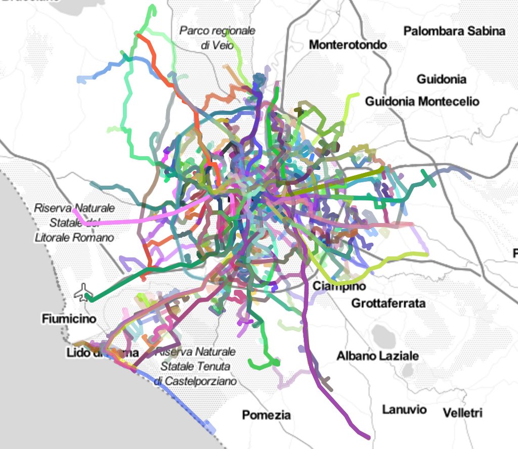
Rome
Andrea Borruso added feeds to Transitland for several Italian transit agencies, including Roma Servizi per la Mobilità s.r.l., and was kind enough to write a blog post in Italian about Transitland. Grazie, Andrea!
Here’s what Rome’s transit network looks like using the Transitland Playground data explorer and downloader:
If you happen to be in Italy, there are several Open Data Day hackathons – check out Andrea’s Twitter feed for a good overview of what’s going on.
Looking for GeoJSON for the route geometries of your favorite transit system? It’s accesible through the Transitland Datastore API like so:
https://transit.land/api/v1/routes.geojson?operatedBy=[operator_onestop_id]
This can be imported and displayed in any application or website that understands GeoJSON. In the case of Rome, it’s
https://transit.land/api/v1/routes.geojson?operatedBy=o-sr2-romaserviziperlamobilitsrl (7 MB)
Want to look up the Onestop ID for a different operator? Browse the Transitland Feed Registry or query the Datastore API like so:
https://transit.land/api/v1/operators
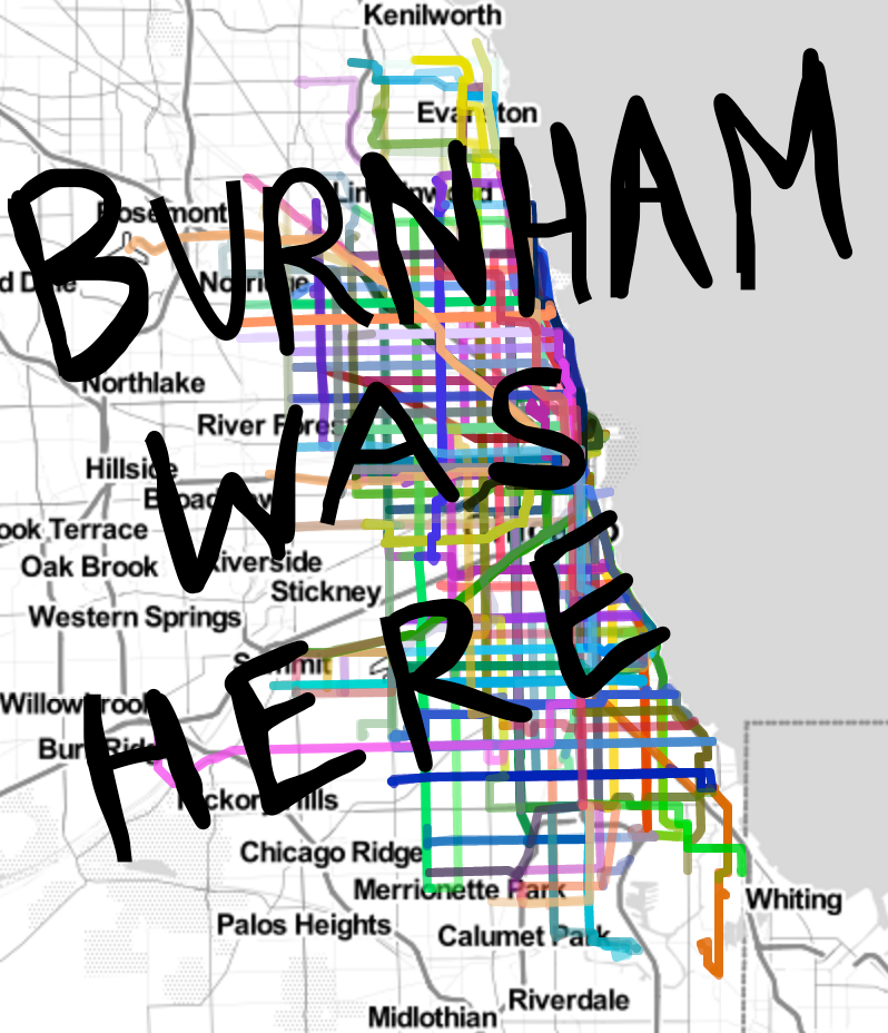
Chicago
Twenty-five or six to four aside, the Chicago Transit Authority’s GTFS feed is now in Transitland’s Feed Registry. Daniel Burhham’s mark on the city is clear.
Buenos Aires
The Buenos Aires subway, Subterráneos de Buenos Aires (SUBTE), has eight lines.
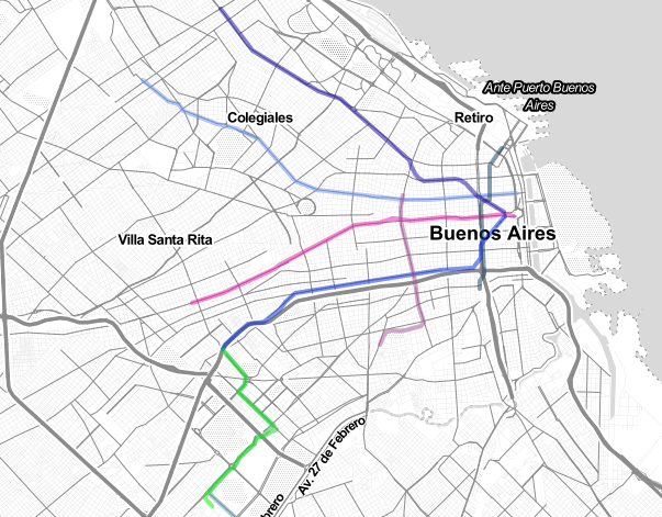
More information about the Subterráneos routes can be easily viewed using the Datastore API and mapped as GeoJSON (38K)
{
  "routes": [
    {
      "identifiers": [
        "gtfs://f-69y7-recursosdatabuenosairesgobar/r/PM-Savio"
      ],
      "imported_from_feed_onestop_ids": [
        "f-69y7-recursosdatabuenosairesgobar"
      ],
      "imported_from_feed_version_sha1s": [
        "4e07fa71ddcc48667af3ccf61d49f85056e1b305"
      ],
      "created_or_updated_in_changeset_id": 605,
      "onestop_id": "r-69y6v-pm~s",
      "name": "PM-S",
      "vehicle_type": "tram",
      "geometry": {
        ...
      }
    }
  ]
}
The GeoJSON you get from the Transitland API can be displayed in many different web apps, including geojson.io! Click here to see SUBTE routes using geojson.io.
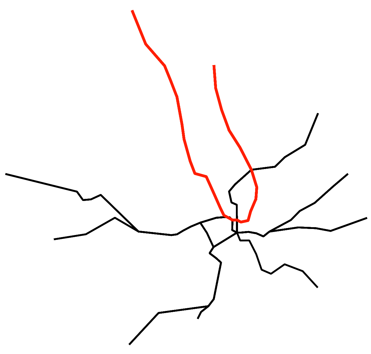
Washington D.C.
I pity the fool who takes a cab in DC—you should be riding WMATA when in the District of Columbia.
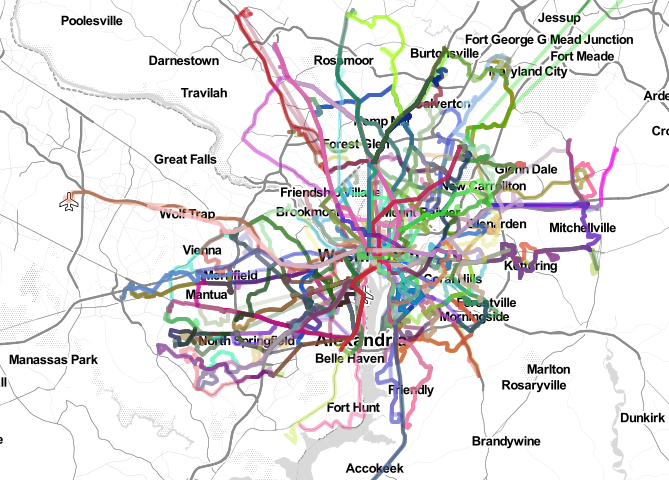
Lots of lines! But through the power of the Transitland API, you can pull out just the subways…
https://transit.land/api/v1/routes.geojson?vehicle_type=metro&operatedBy=o-dqc-met
…and drop the resulting map of the DC Metro GeoJSON into QGIS. Hello Red Line!
Elsewhere
Can’t find your favorite bus, train, gondola, or ferry in Transitland? Please add it to the Transitland Feed Registry.
Whether it’s this weekend as part of a hackathon, next Monday as part of your “day job,” or any other day that you’re intrigued by open transit data, we welcome your involvement in Transitland!

