Case Studies
Mapzen Turn-by-Turn
Remix uses Mapzen Turn-by-Turn to power its bus-planning app, used by public-transit agencies around the country to improve the design of their networks.
GaiaGPS uses Mapzen Turn-by-Turn and Mapzen Elevation to guide hikers along trails. Read more on their site or read how they switched to Mapzen Turn-by-Turn just days before shipping.
CartoDB used Valhalla (Mapzen’s open-source project that powers Turn-by-Turn) to analyze the closure of the L Train in New York City. Read an introduction and follow-up on their blog.

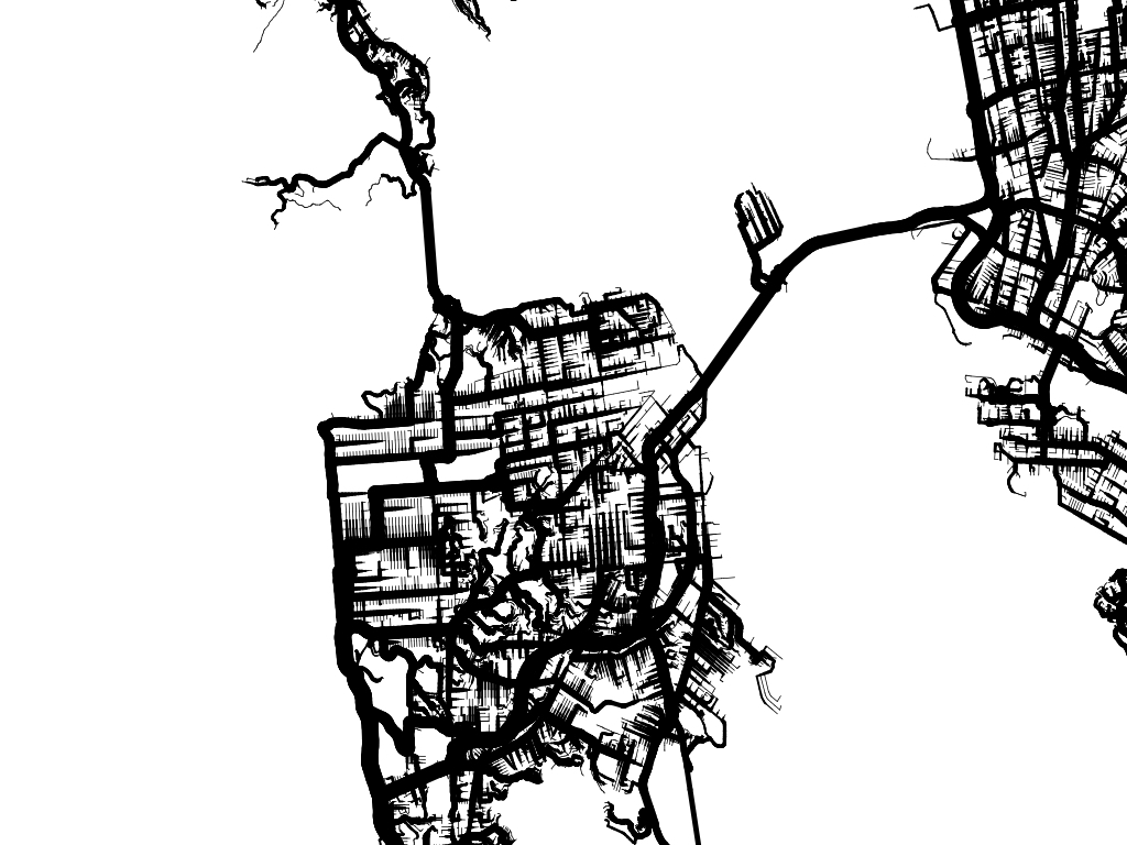
Steve Coast, the founder of OpenStreetMap, used Valhalla (Mapzen’s open-source project that powers Turn-by-Turn) to analyze all possible journeys in a city and produce summary graphics for his “Every Road” project on Kickstarter.
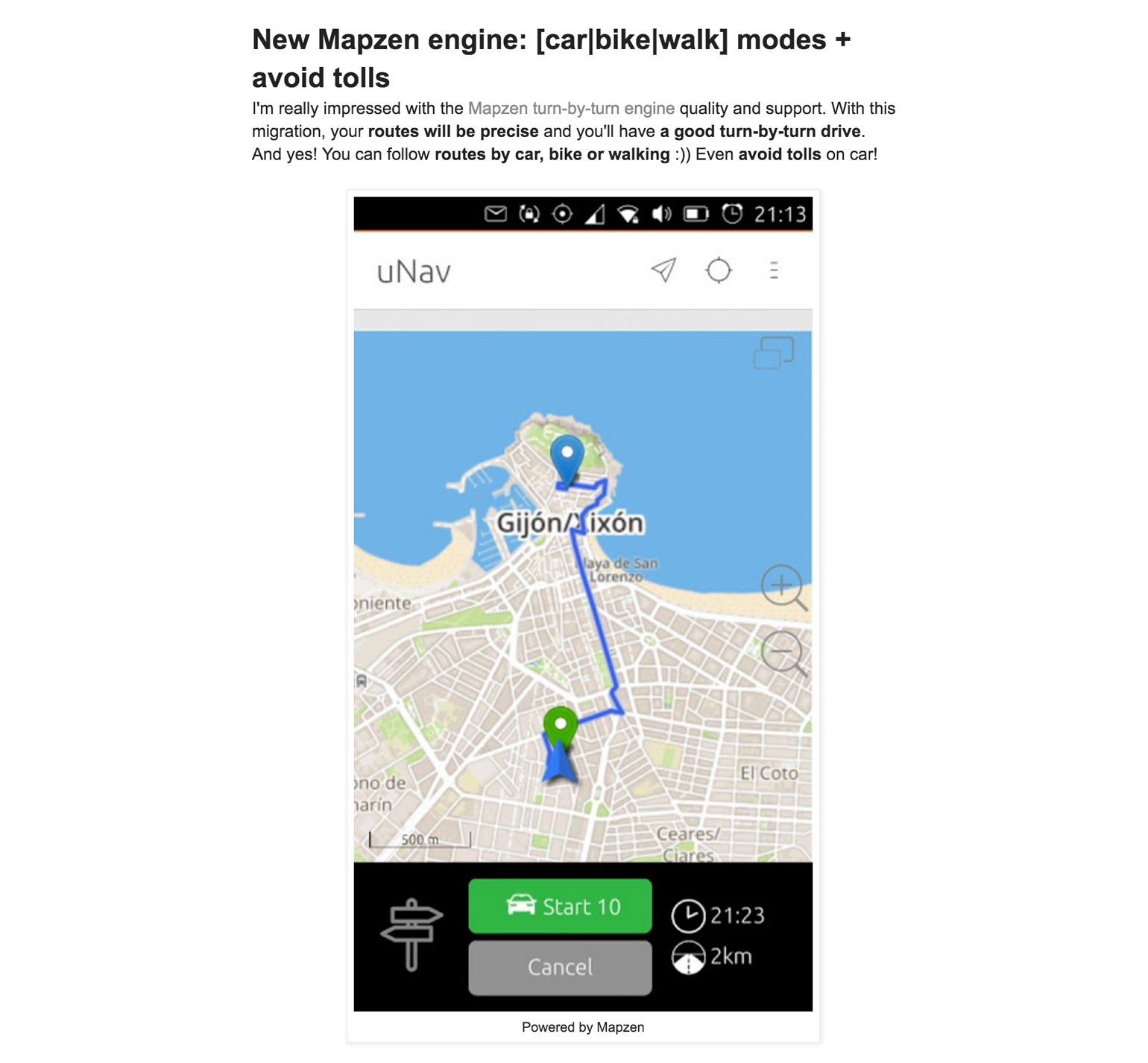
uNav, a navigation app for the Ubuntu phone, is powered by Turn-by-Turn. Read more about how uNav uses Turn-by-Turn (including how to avoid auto tolls) on their blog.