Posts tagged: boundaryissues


The world is weird and wonderful!

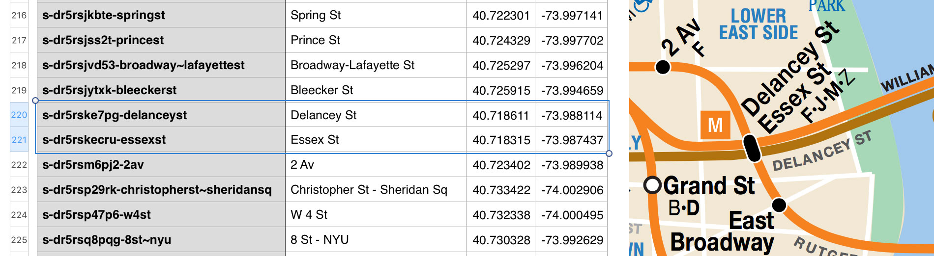
The multifaceted maps we make simply reflect the weird and wonderful territory they represent. CSV and GeoJSON make it easier.
Boundary Issues: Editing Properties in Who's On First Records
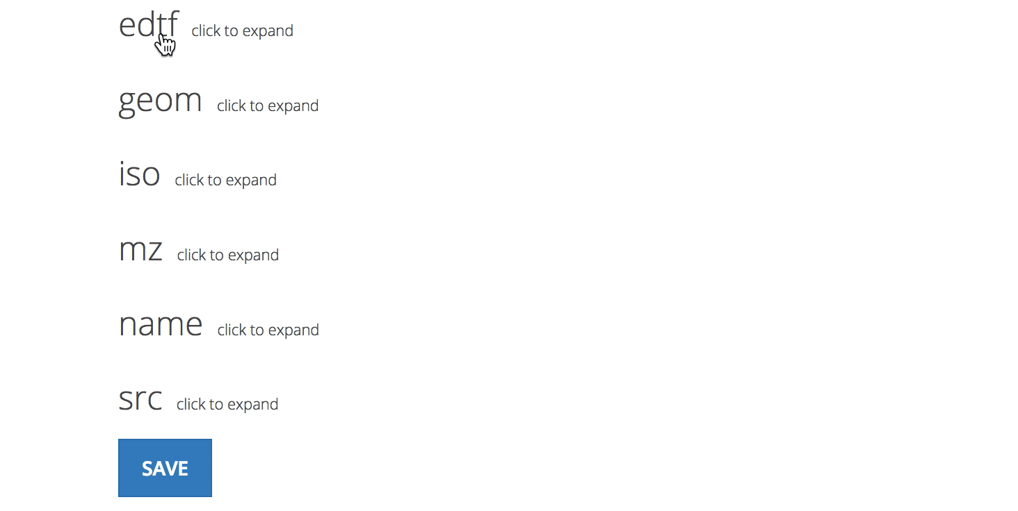
Introducing our bespoke web-based editor for Who's On First records—helping GeoJSON help you.