The Past
Are you seeing maps that look like this?

Six years ago, Mapquest presented Open Tiles to the world. Sadly, Mapquest shut them down on July 11.
The Present
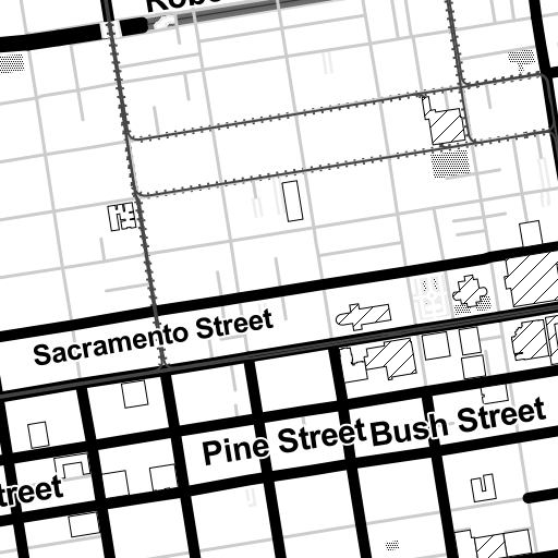
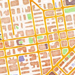
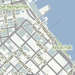
But as one door closes, others open. Luckily, you now have many alternatives when it comes to making maps based on OpenStreetMap! Our friends at Stamen provide some of the nicest looking raster tiles around.


The Future – Get It Today
If you’re seeking out maps from the future, we suggest our Tangram mapping engine and our Vector Tile Service. Tangram uses WebGL to generate great looking maps, whether they are base maps…
or dynamic rendering of cityscapes…
Tilt Ikeda, by Patricio Gonzales Vivo Learn more!
Getting Started
Check out the Tangram documentation, learn how to get started, and take a look at some more advanced examples.
But we always want to make things easier for our friends, so we are testing a mapzen.js library. It will let you make a Leaflet map based on Mapzen styles and add a geocoder in just a few lines of code:
<!DOCTYPE html>
<html lang="en">
  <head>
    <meta charset="utf-8"/>
    <meta name="viewport" content="width=device-width, initial-scale=1"/>
    <link rel="stylesheet" href="https://www.nextzen.org/js/nextzen.css">
    <script src="https://www.nextzen.org/js/nextzen.min.js"></script>
  </head>
  <body>
    <div id="map"></div>
    <script>
      // Add a map to the #map DIV, and center it on New York:
      var map = L.Mapzen.map('map');
      // Set default view on New York at zoom level 13
      map.setView([40.70531, -74.009], 13);
      var geocoder = L.Mapzen.geocoder('search-api-key');
      geocoder.addTo(map);
    </script>
  </body>
</html>
(In fact, we used mapzen.js to make the base map above.)
It’s a 0.1.0 product, so please let us know if you see any issues or have any suggestions!
You can also make changes to a Tangram map on the fly with the beta verison of Tangram Play. (You can learn more about YAML and what makes a scene file tick.)
Let us know what maps you make!