In creating our first outdoor style, I discovered the wonderful world of sphere maps! If you haven’t read Peter’s blog post Mapping Mountains, please do so. It provides a historical overview on the mapping of mountains and also goes over Mapzen’s elevation data in detail and the various techniques we can use to display elevation on maps.
After exploring the various options Peter outlined on his blog post, I chose to use the sphere map technique for our first outdoor style called Walkabout. The technique of sphere mapping is a familiar one in video games and film VFX. It’s an inexpensive way to add detail to 3D objects by using a texture image, but instead here we’re using the texture to create the lighting on the map. Imagine, a 256x256 pixel image can compose the lighting for an entire map! The process of translating pixels from micro to macro is completely fascinating.
Let’s go straight to my experiments below and discover what sphere maps are all about. In my curiosity, I tested out various mediums from pencils to watercolors to see what kind of textures would emerge on the map. Each iteration was a delightful surprise. Sometimes I thought I could predict the outcome and would work towards that picture in my mind. Other experiments were pure tests wherein I had no expectation whatsoever about a certain result.
Here’s one of the first sketches I did with pencil.
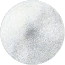
Pencil ( These maps are interactive! Open full screen ➹ )
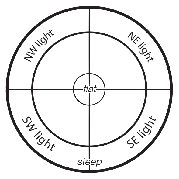
Light chart by Nathaniel Vaughn Kelso
Nathaniel’s light chart above could help you picture how the light is being drawn onto the map. I like how the paper grain from the first pencil sketch came through on the map. For the next test, I tried a smudged pencil drawing.
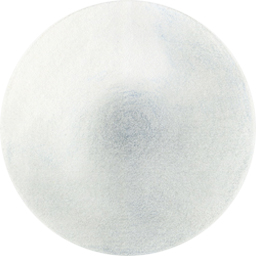
Smudged pencil ( These maps are interactive! Open full screen ➹ )
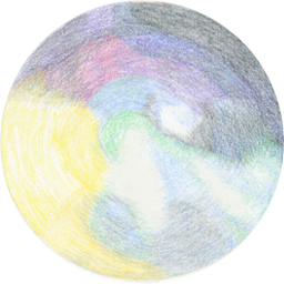
Colored pencils ( View the map Open full screen ➹ )
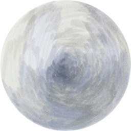
Markers ( View the map Open full screen ➹ )
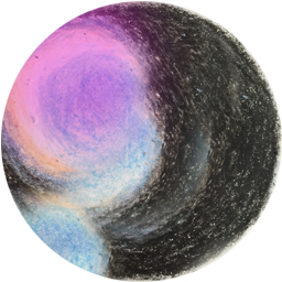
Crayons ( View the map Open full screen ➹ )
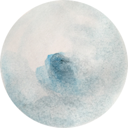
Watercolor ( View the map Open full screen ➹ )
With watercolors, you can create a natural smooth gradient, which is perfect for sphere maps.
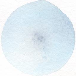
Watercolor ( View the map Open full screen ➹ )
I had to try stripes! Surprisingly they work!
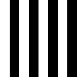
Stripes ( View the map Open full screen ➹ )
Glitch produces a marbling effect at higher zooms.
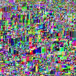
Glitch ( View the map Open full screen ➹ )
Circles
Another intriguing feature about sphere maps is that it comes in the form of a flat circle - transforming into a sphere then translating to the lighting on the map. The circle is a universal symbol. It has multiple levels of meaning in various cultures and mythologies. We find circles all over nature. Images of our sun, our planet and planetary movements come to mind. The cycle of time, the growth pattern of trees, the shape of ripples when you throw a rock on the water. What about the shape of bubbles?
This particular sphere map below is an ink bubble drawing by artist Roland Flexner. He created a drawing series by blowing ink-and-soap bubbles onto paper. These bubble painting are worlds within themselves. I was curious to see what kind of map these bubble paintings would create.
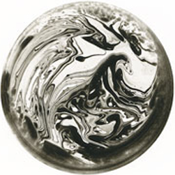
Roland Flexner bubble painting ( View the map Open full screen ➹ )
Scientist and artist Kelsey Brookes paints the invisible worlds of atoms and molecules. Brookes’ molecular paintings explore scale from atomic structures up close to resonating and reverberating universes from afar. View the map below created with one of his circular paintings.
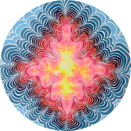
Kelsey Brookes mandala ( View the map Open full screen ➹ )
Walkabout Relief
The pencil drawing below is the sphere map we chose for our outdoor style Walkabout. View the complete style here. The map shows solid bright blue for water areas in contrast with the grayscale earth and terrain layer which provides the base upon which all other map layers sit. To learn more about Walkabout cartography, click here to see Nathaniel’s tour of our outdoor style.
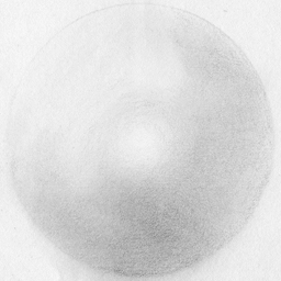
Walkabout Relief Shading ( View the map Open full screen ➹ )
Sphere Map Demo
Now that you’ve had a taste of what sphere maps can do, explore and paint your own with this amazing demo Peter built below.
Sphere map demo by Peter Richardson
Correction
2016.07.07 - Clarify Walkabout example shows shaded relief only, not full map style.