The State of the Map US conference at the United Nations Headquarters is in NYC June 6-8. It’s not too late to sign up to attend! Over the next two weeks we will be highlighting the talks by your friends at Mapzen. Drew Dara-Abrams, Meghan Hade and Ian Rees will conduct an open transit data workshop on Monday, June 8, 3-4PM:
A hands-on tour through open transit data: OpenStreetMap, GTFS, Transitland, and Onestop IDs
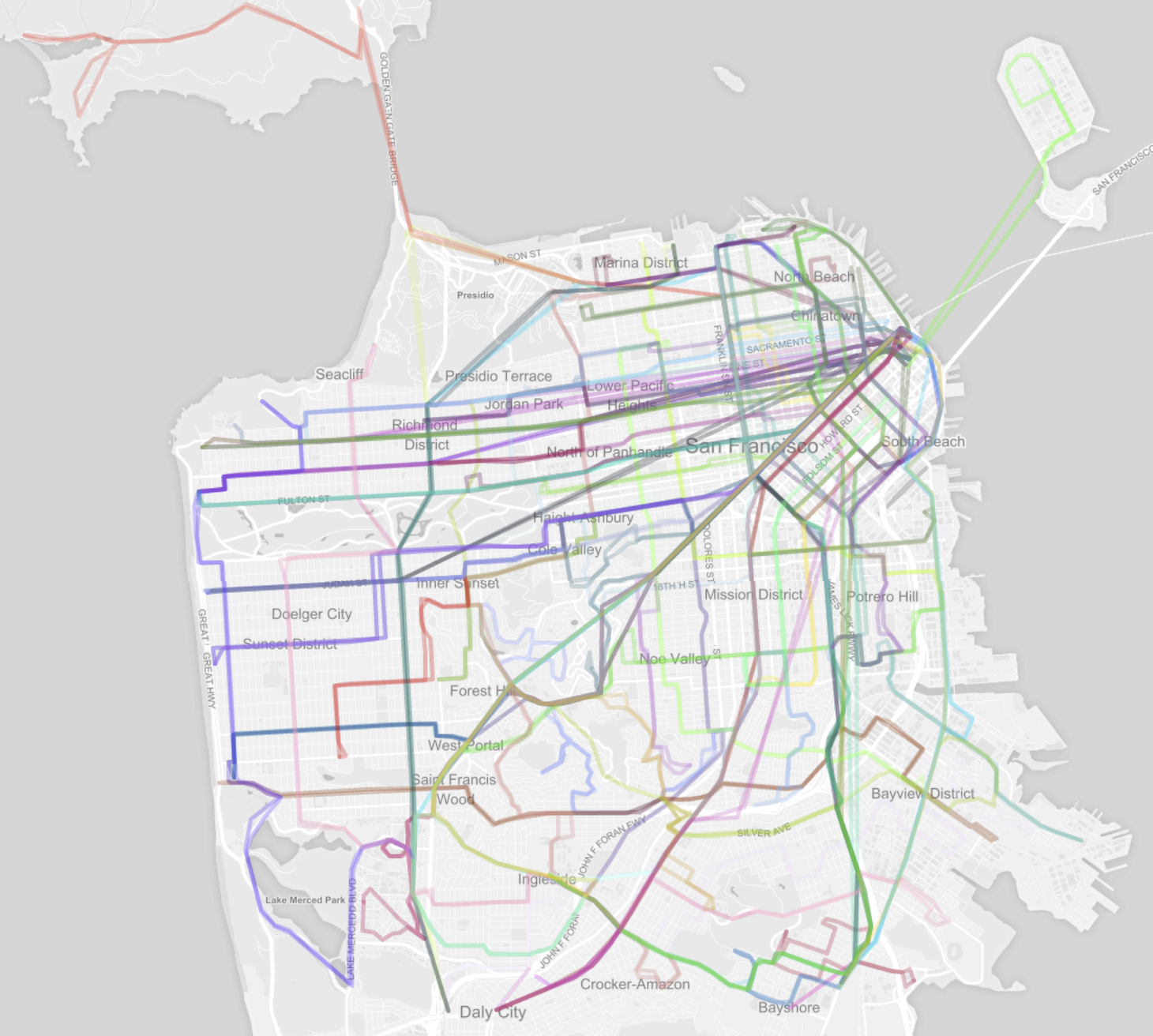
OpenStreetMap is full of bus stops, train stations, ferry routes, and even funicular railways, contributed by mappers around the world. Many transit agencies also share their networks and schedules as public data sets, using the General Transit Feed Specification (GTFS) format, created by Portland TriMet and Google. Combining the geographic information of OSM and the temporal information of GTFS feeds opens many of possibilities–but unfortunately it’s an often frustrating slog through messy data and incomplete tooling.
In this hands-on workshop, we’ll guide participants through a brief tour of working with transit data in OSM and GTFS using open-source tools.
Together, we’ll:
- Visually explore transit data
- Use Onestop IDs as a “crosswalk” between GTFS, OSM, the National Transit Database, and other sources of data (to run simple analyses of transit systems)
- Use these as inputs into a multi-modal routing engine (to plan journeys involving transit)
We hope participants will leave with an appreciation of the complexities of OSM and GTFS–and equipped with knowledge and an open-source toolkit to continue their experiments with transit data, software, and ideas.
Drew Dara-Abrams, Meghan Hade, and Ian Rees are on Mapzen’s transit and urban design team, based in San Francisco Bay Area, where there are at least 30 transit agencies.