making things. saying things.

Targeted Editing – Where the streets have no names...

See where OpenStreetMap street segments don't have names in your area, and fix them in iD (or JOSM) to see your changes live on the map!

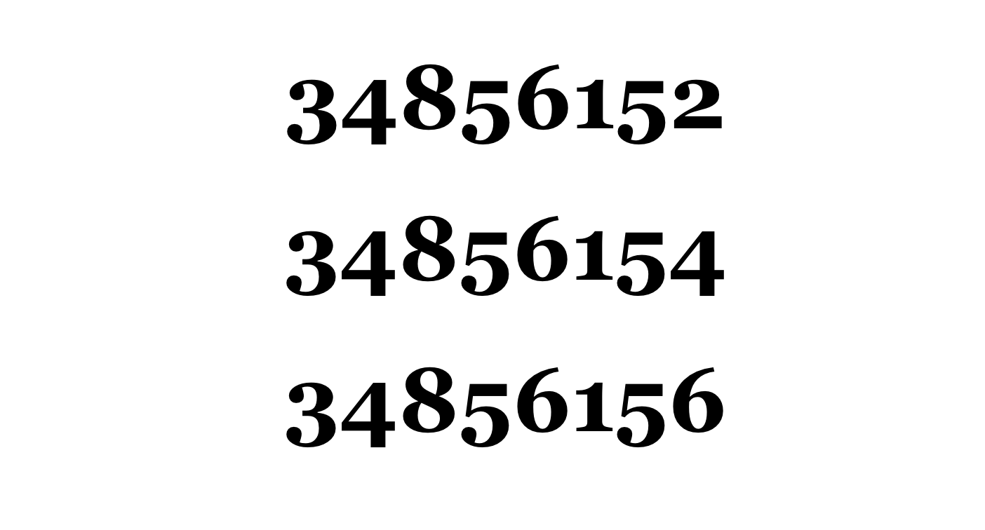
Mapzen Acquires Mission Integers

Mapzen announced today its acquisition of Mission Integers, a San Francisco digital technology startup led by Michal Migurski. The company provides artisanally crafted 64-bit integers as a service. Migurski will join Mapzen as part of the deal.

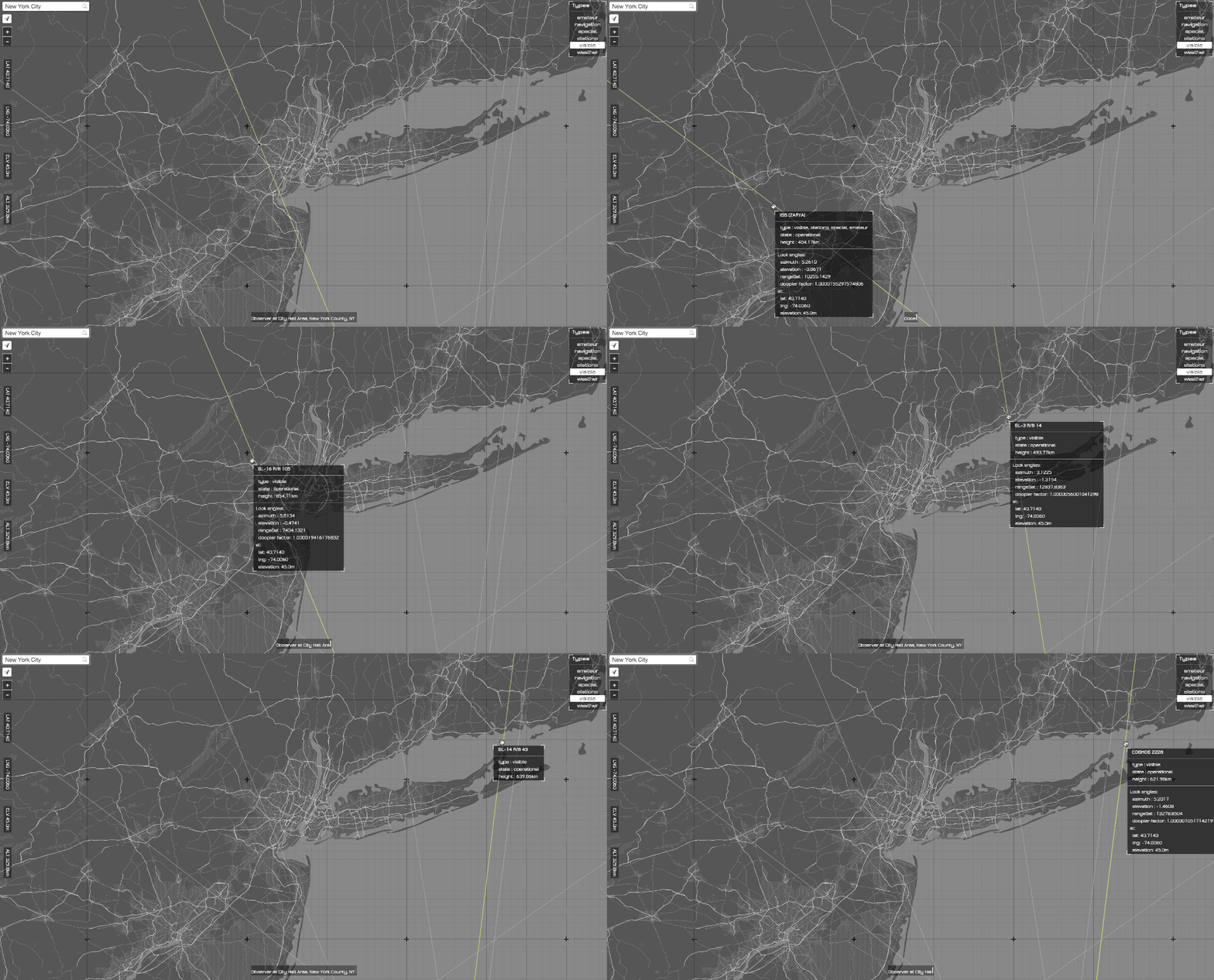
Line of Sight

Finding satellites above you using open source tools and open data.

A family of styles with many flavours: Introducing Refill, Cinnabar, and Zinc styles for Tangram

Style OpenStreetMap data with high contrast black & white, colorful classic, and light grey skins using the Tangram graphics library and Mapzen's versatile Vector Tiles.

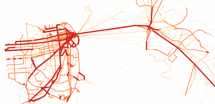
Transit dimensions

The Transitland schedule API is here! It provides a simple method to access and analyze transit schedule data from many different agencies. Hop on the bus and explore the possibilities with us.

Find your community: an exploration of our geocoding plugin

If you've ever built a map-based application, chances are you've put a location search box somewhere on it before. Here's a look at how our own geocoding plugin works for a small project about New York City's community boards.

Searching for Geoweb in Brooklyn

The 11th annual Geoweb Summit comes to Brooklyn — learn about Mapzen's totally open, locally grown, cage free geocoder!

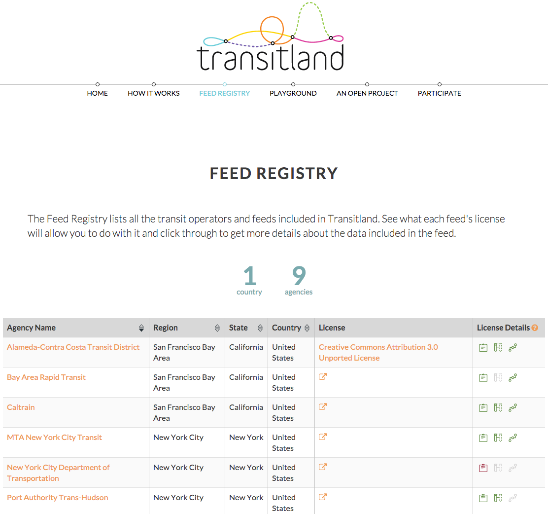
An Open Directory of Transit Data Sources: Transitland's Feed Registry

We’ve created the Transitland Feed Registry to help the users of open transit data answer two questions: 1) What transit operators offer open feeds? 2) What can I legally do with each feed?