Posts tagged: transitland

Everything you wanted to know about Mapzen Support but (shouldn't have been) afraid to ask

We have many ways for you to contact the Mapzen team, ask questions, and learn how to use our tools!

Take the Bus, Gus. No looking back, Jack.
From the coast to the mountains, from the river to the sea, from the plains to the train, Mapzen is opening transit routing to the world.
Let's take a road trip transit journey to Valhalla, NY using Mapzen Turn-by-Turn and Transitland

By train, by ferry, by bus, by foot, Mapzen Turn-by-Turn and Transitland will get you there.
The new (multimodal, open-source, open-data) rules of the road: Mapzen Mobility
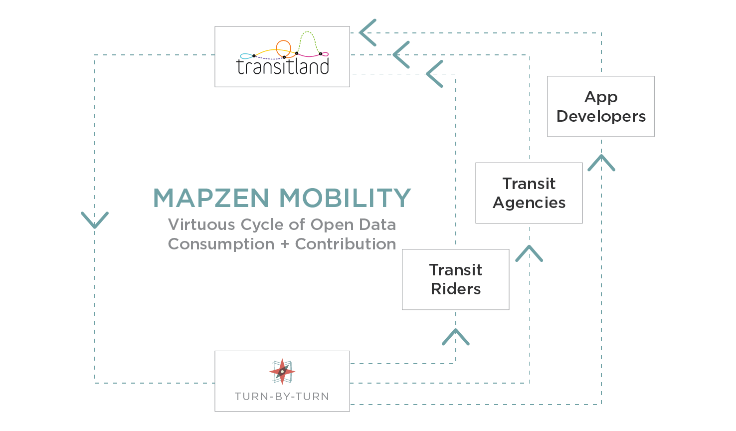
Introducing the new rules of the road, including the world's first global, open-source, multimodal routing engine.
Introducing the RouteStopPattern
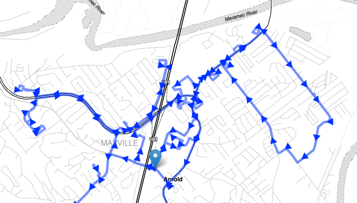
Trains and buses don't travel along straight lines. Transitland makes it easier to explore complex route geometries and stops.
Join us as we catalog the public transit feeds of the world
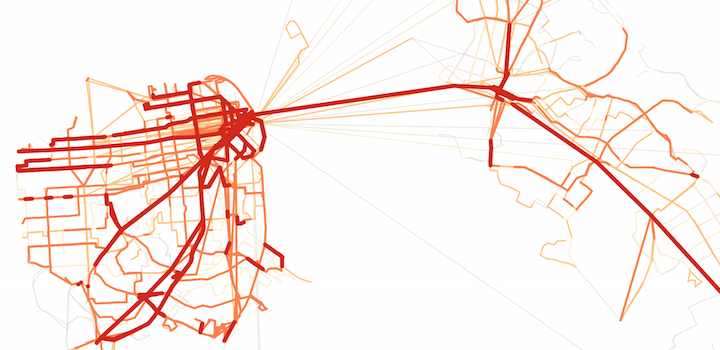
This experiment started out in San Francisco and New York, where most Mapzen staff live, but now we're ready to open Transitland to the world and outside contributors.
Mapzen "transpo" in DC

Mapzen's joining thousands of enthusiasts and professionals in Washington, D.C. to start off a new year of transportation research, planning, and advocacy.
Transit dimensions
The Transitland schedule API is here! It provides a simple method to access and analyze transit schedule data from many different agencies. Hop on the bus and explore the possibilities with us.