Posts tagged: tangram

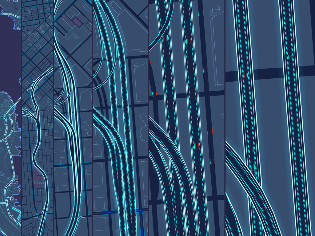
Tron 2.0 - Creating a Visual Language of Scale

Introducing TRON 2.0. Explore the visual language of scale on our new Mapzen house style.

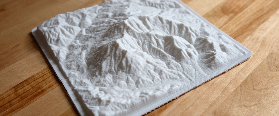
Mapzen Terrain Tiles are 1.0 and ready to go

Worldwide elevation data in all the places in your favorite formats.

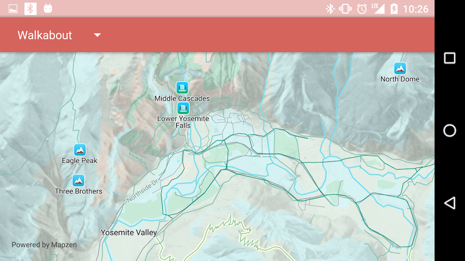
Making Better Maps with Tangram on Android

Android maps just got even better with the Mapzen SDK, Tangram and MapzenMap$getMapController()

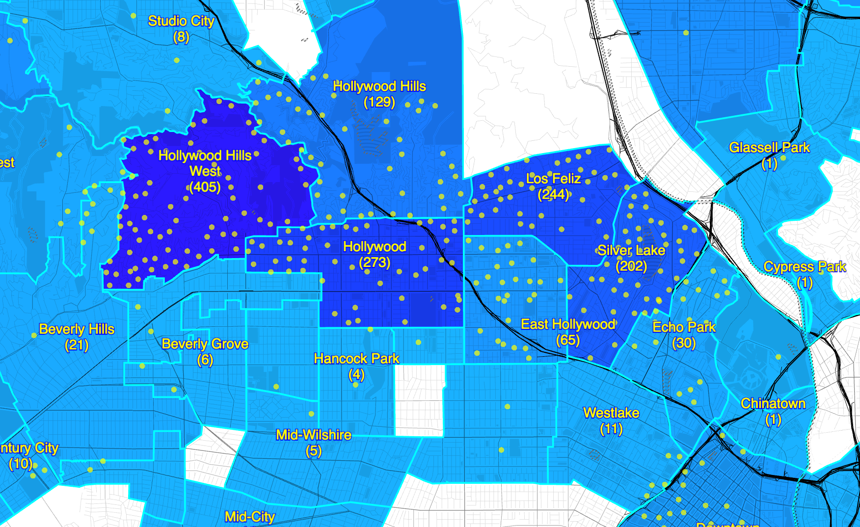
Pools and Polls -- Coloring Choropleths

Shaping data into colors on a map using open data, point-in-polygon, QGIS, GeoJSON and Tangram

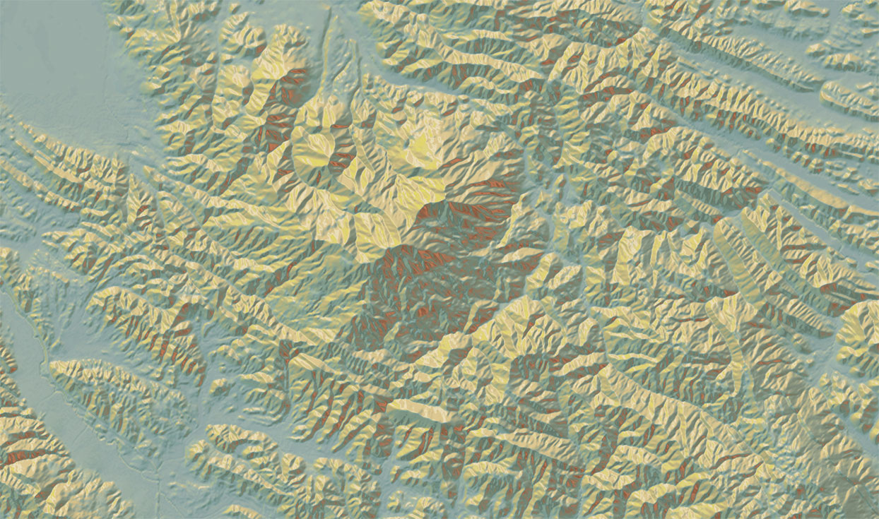
Tangram Heightmapper

This view also reveals surface details which aren't easily visible even in a 3D model. By turning up the contrast on the data, it provides glimpses into the deep history of the landscape, hidden in small differences in the terrain.

Everything you wanted to know about Mapzen Support but (shouldn't have been) afraid to ask

We have many ways for you to contact the Mapzen team, ask questions, and learn how to use our tools!

Ladders for Leaders, Summer 2016

Everything is even better than what I imagined when I first got an email for a phone interview with Mapzen through the NYC Ladders to Leaders summer internship program