Posts tagged: tangram

Augmenting reality with open software and data

Open data and open source software can make augmented reality even better

Closing Mapquest Open Tiles, Opening the Future

Mapquest Open tiles are going away, but you have choices

Sphere Maps

Exploratory work with sphere maps

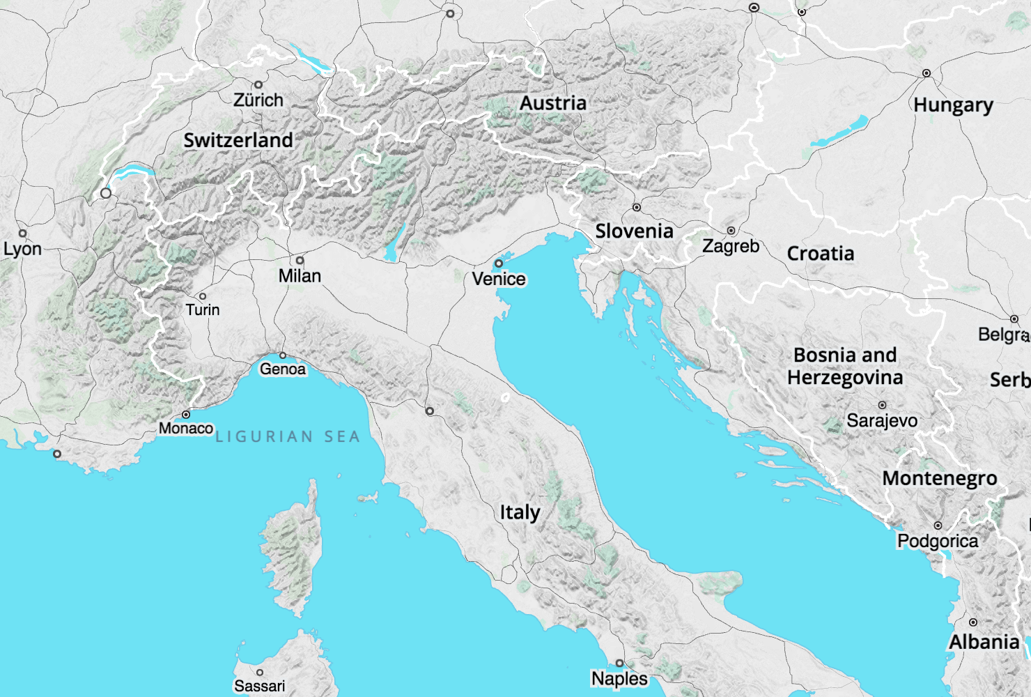
Walkabout Map Style

A visual tour of Walkabout, Mapzen's signature outdoor map style.

What a Relief: Global Test Pilots Wanted

Worldwide elevation data in more places, in higher fidelity, and in more formats.

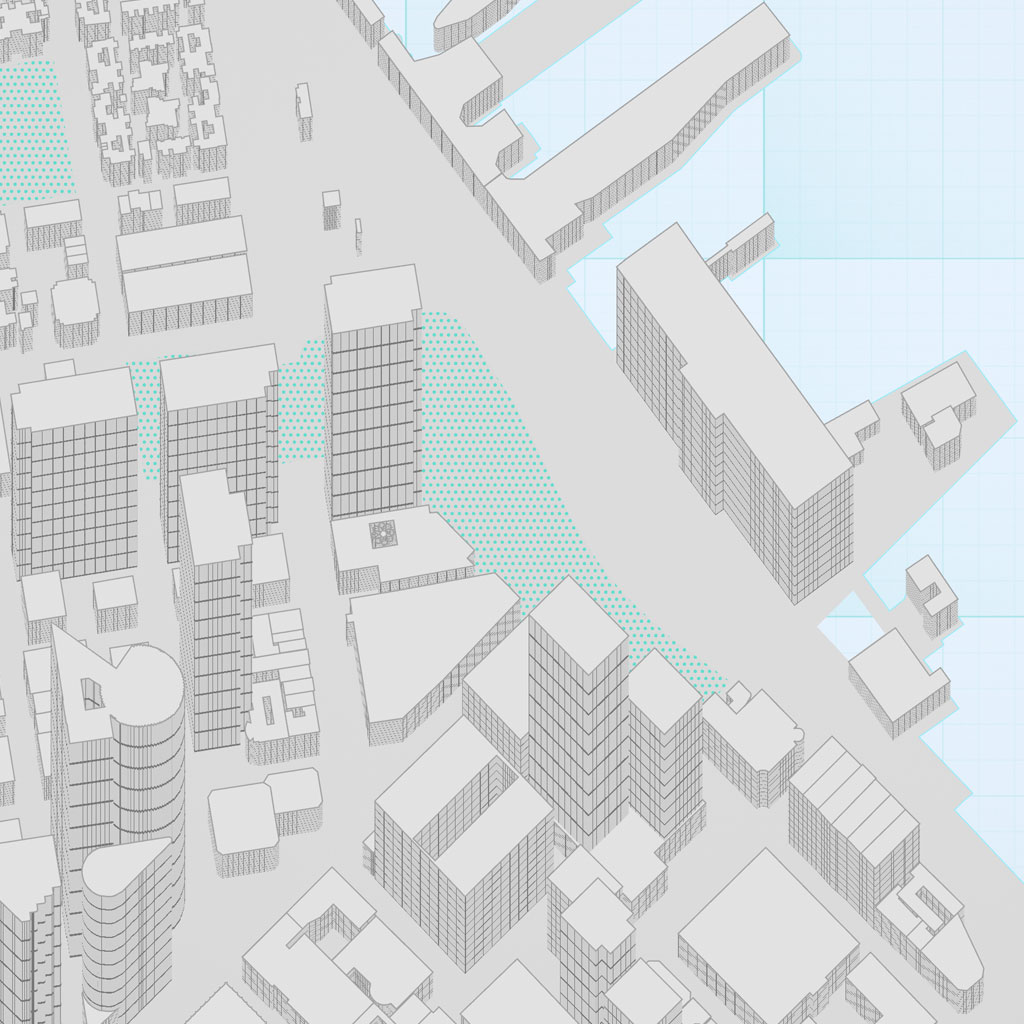
Unboxing Bubble Wrap

A visual diary of the Bubble Wrap cartography featured in Eraser Map.

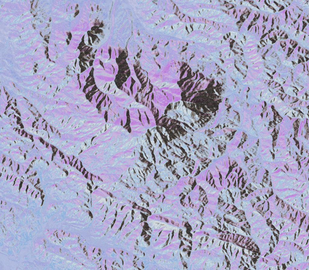
Mapping Mountains

To view mountains from above is to journey through time itself: over ancient shorelines, the trails of glaciers, the marks of countless seasons, and the front lines of perpetual tectonic struggle. Fly with me now, on a tour through the world of elevation data!

Lines

An visual exploration on Lines with Tangram